
View scrollable city maps of German cities with railway, bus and subway stations, hotels, sports stadiums, airports, embassies, main roads, museums, parks, schools, and other places of interest marked.
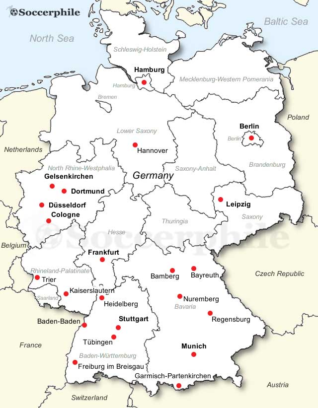 Map of German cities
If the maps do not load when using Internet Explorer (IE) on a Windows PC, please hold down the "Control" key and refresh the page
The 10 largest cities in Germany by population are Berlin (3.6 million), Hamburg (1.9 million), Munich (München) (1.5 million), Cologne (Köln) (1.1 million), Frankfurt (763,000), Stuttgart (640,000), Düsseldorf (620,000), Dortmund (600,000), Essen (590,000), and Leipzig (580,000).
 Map of Berlin
Berlin Map - Germany's capital and largest city.
Cologne Map - Germany's oldest city, famous for its cathedral.
Dortmund Map - football-mad Dortmund, biggest city in the Ruhr area.
Düsseldorf Map - state capital of North Rhine-Westphalia.
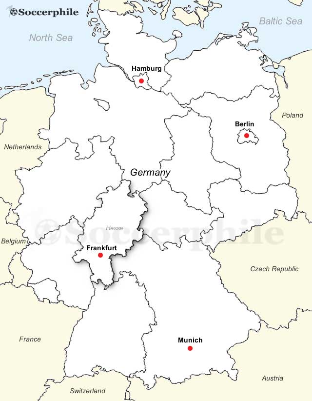 Map of Frankfurt
Frankfurt Map - the financial capital of the country -'Mainhatten'.
Gelsenkirchen Map - former industrial powerhouse in the Ruhr
Hamburg Map - Germany's largest port, where 'The Beatles' made it.
 City Map of Hamburg
Hannover Map - Expo, Gardens, Leibniz, relaxed, easy-going city with some fine museums
Kaiserslautern Map - Football, Palatinate, US military base
Leipzig Map - Bach, music, economy built on publishing and trade fairs
 Map of Munich
Munich Map - Beer, Oktoberfest, Bavaria, Bayern
Nuremburg Map - Old imperial city lovingly restored post-war
Stuttgart Map - located in Baden-Württemberg, home to Mercedes, Porsche, Zeiss & Hugo Boss
 Map of Germany
There are sixteen states in the Federal Republic of Germany. There are 3 city states (Stadtstaaten) - Berlin, Hamburg and Bremen and 13 area states (Flächenländer). These are Bavaria (the largest by area), Baden-Württemberg (the 2nd largest by area), Brandenburg, Hesse, Lower Saxony, Mecklenburg-Vorpommern, North Rhine-Westphalia (NRW), Rhineland-Palatinate, Saarland, Saxony, Saxony-Anhalt, Schleswig-Holstein and Thuringia.
 Map of German States